Maps

Pictured to the left is a map of Germany from 1871-1918. Before 1871, there were many German states, with Prussia being the strongest. Because of the Franco-German War, most German-speaking states unified under the leadership of Kaiser Wilhelm I. After France was defeated, the German Empire was founded. However, when Germany entered the first World War in 1914, it signed its death certificate. In 1919, after World War I, the Treaty of Versailles forced Germany to give up land to France, Belgium, Denmark, and Poland, resulting in about 13% of its territory and 10% of its population being lost.
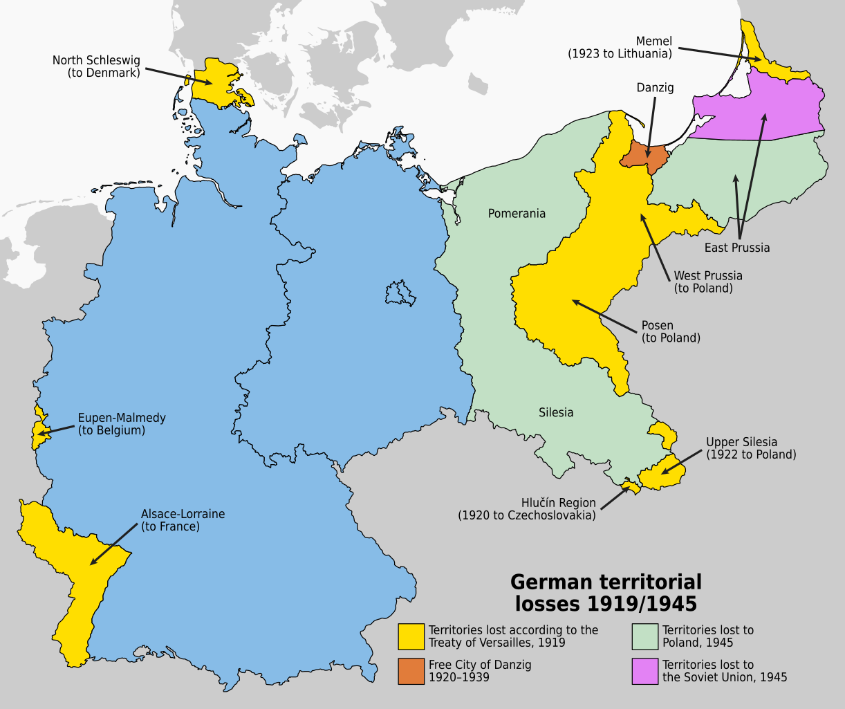
This map shows the land lost from the Treaty of Versailles and the later losses from World War II.
General Germany Facts
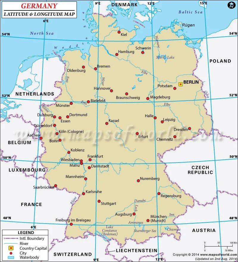
Northernmost latitude: 55°03′ N
Southernmost latitude: 47°16′ N (Haldenwanger Eck, Bavaria)
Latitudinal range: approximately 47°N–55°N (about 8 degrees of latitude)
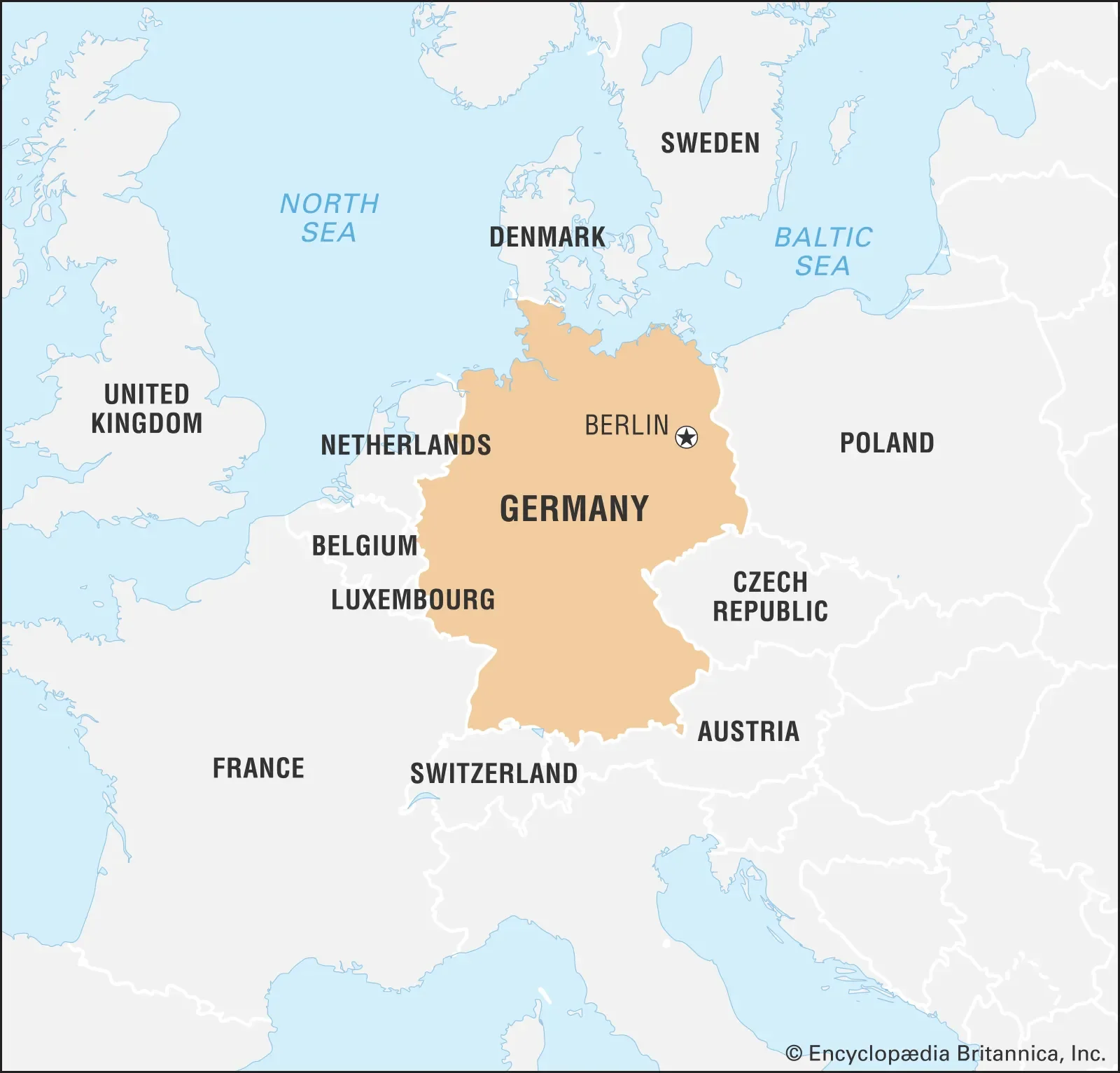
Germany is in central Europe. To its north is the Baltic and North Sea, and its southern border is the Alps.
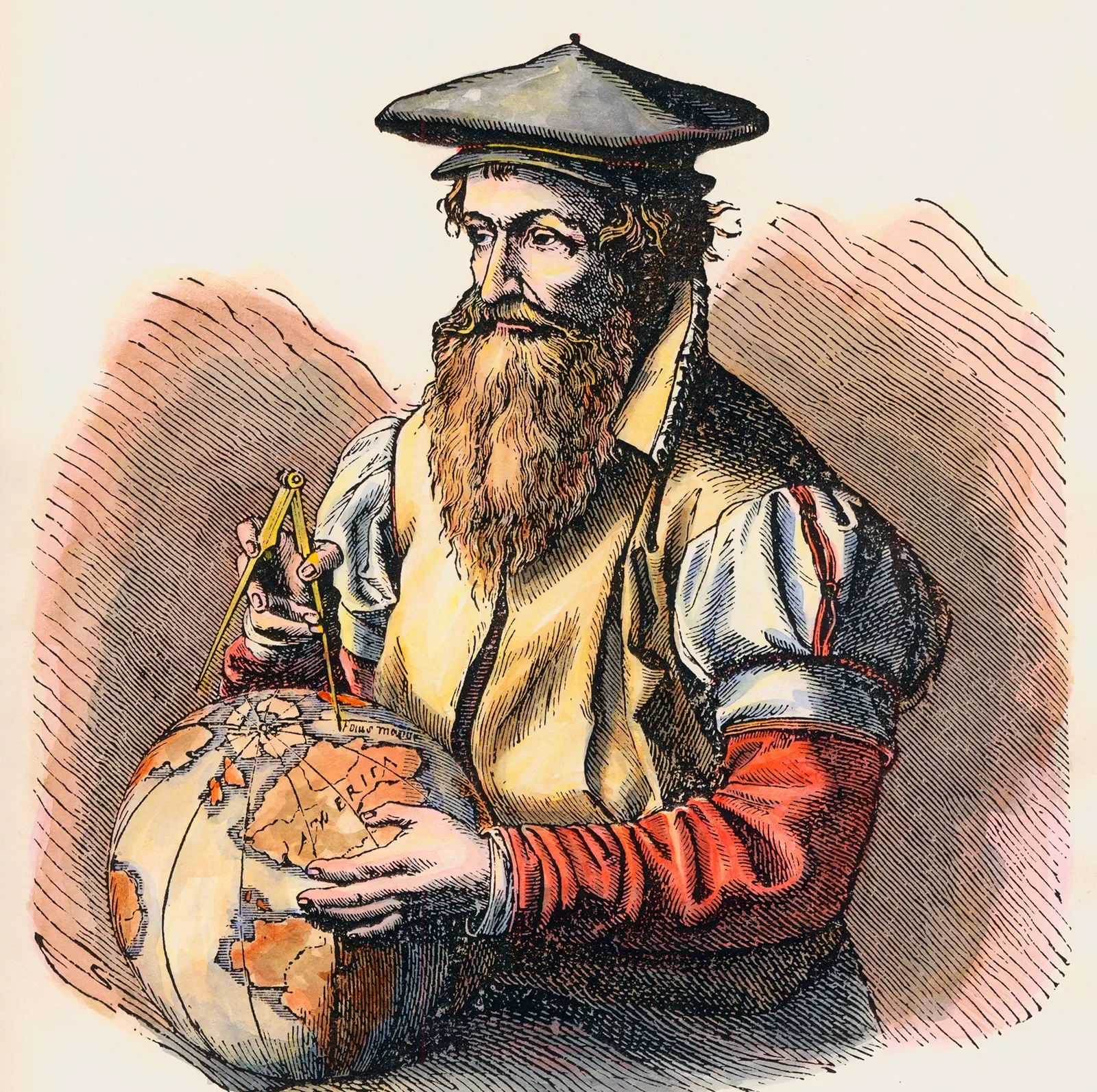
The most notable cartographer would be Gerardus Mercator. Although he was born in Belgium in 1512, he moved permanently to Duisburg, Germany in 1552. It was there that we created the Mercator Projection in 1569. The world map projection had lines representing constant compass bearing by using straight lines. This was a major innovation for sailors. He also popularized the term “atlas” when referring to a collection of maps.